Democratic Underground Latest Greatest Lobby Journals Search Options Help Login
Google

Saltsburg Branch of the West Penn trail (Warning Picture heavy)

Printer-friendly format Printer-friendly format
Printer-friendly format Email this thread to a friend
Printer-friendly format Bookmark this thread
Home » Discuss » DU Groups » Recreation & Sports » Bicycling Group Donate to DU
 
happyslug Donating Member (1000+ posts) Send PM | Profile | Ignore Sun Jun-18-06 12:47 AM
Original message
Saltsburg Branch of the West Penn trail (Warning Picture heavy)
Edited on Sun Jun-18-06 01:04 AM by happyslug
Unlike the better known Yough trail which is now complete, The West Penn trail is only finished in parts, this is the Saltsburg Branch that will connect with the Conemaugh Dam portion and then to Blairsville. This would make a nice size trail. Right now it is in parts (A Bridge is out between Blairsville and the Conemaugh Dam, and the Connection between the Dam and needs more work for the best route is presently use by some businesses, the alternative route needs to work).

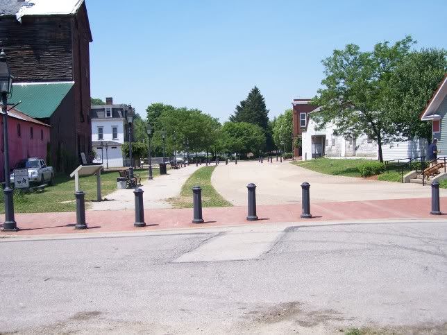
For now here is the Saltsburg branch of the West Penn trail:

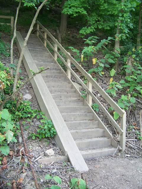
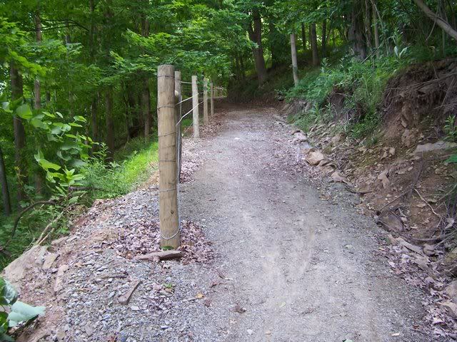
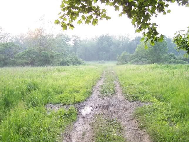
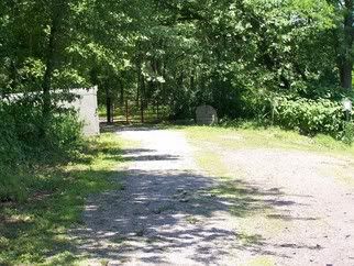
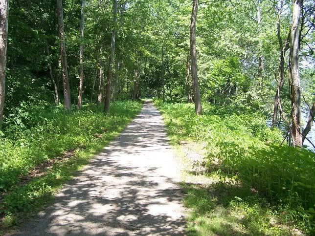
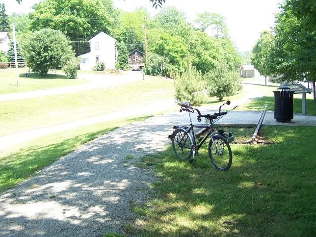
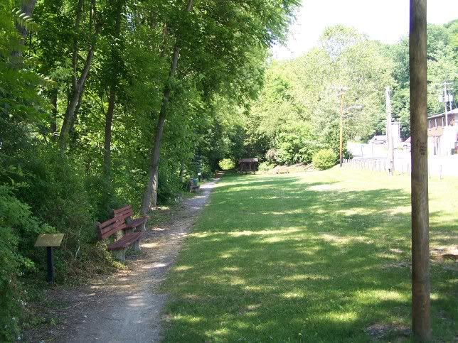
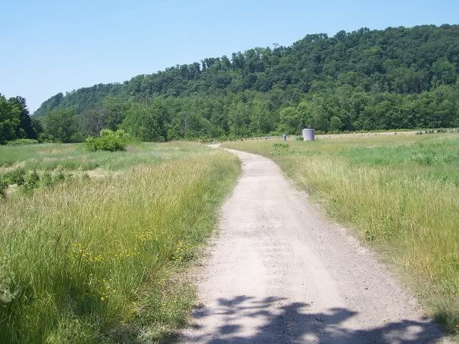
Here is the trail-head for the trail going to the Conemaugh Dam:


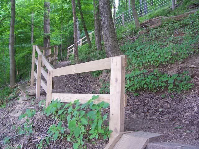
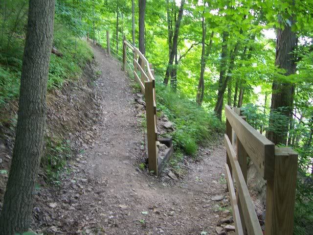
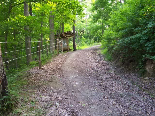
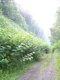
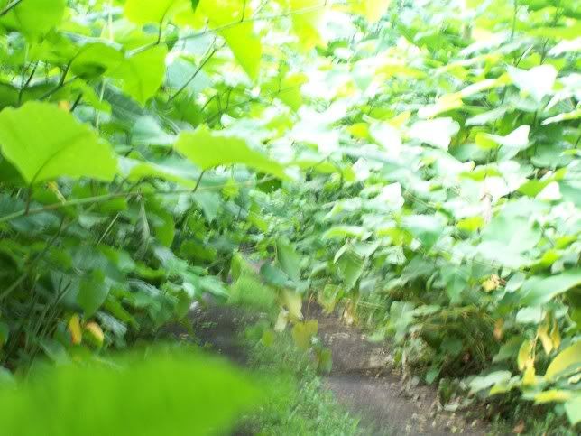
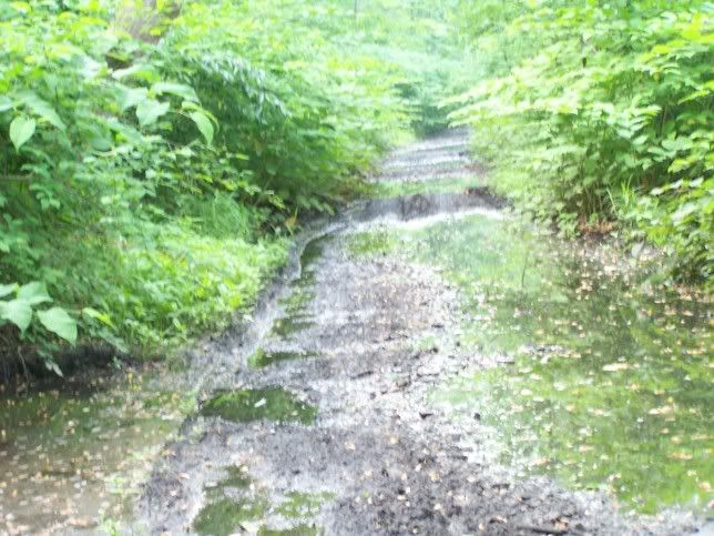
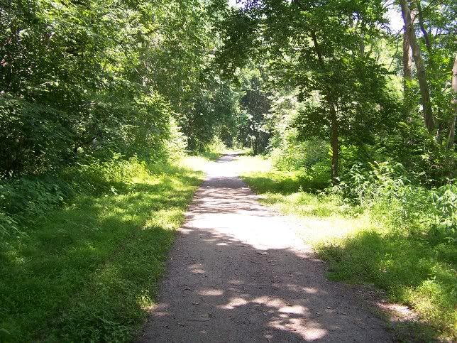
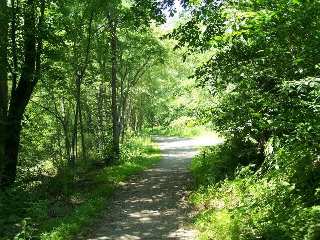
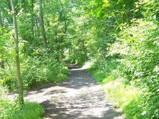
Here is the trail to the Dam:


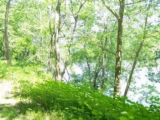
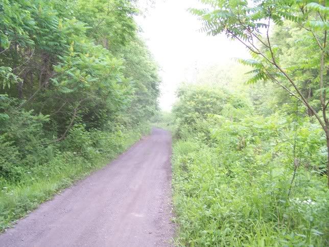
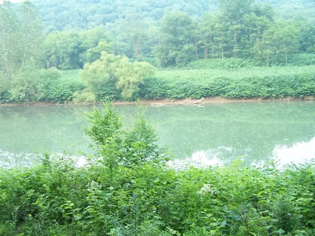
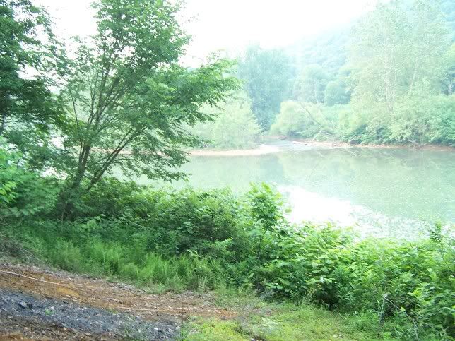
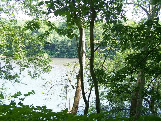
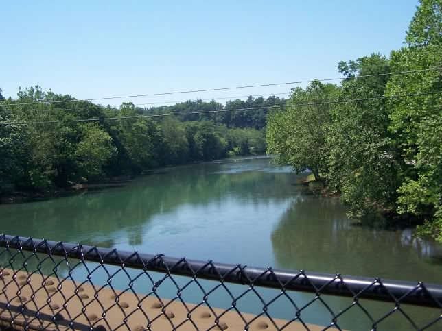
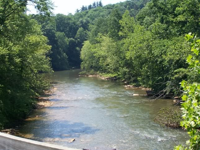
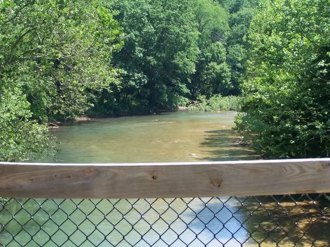
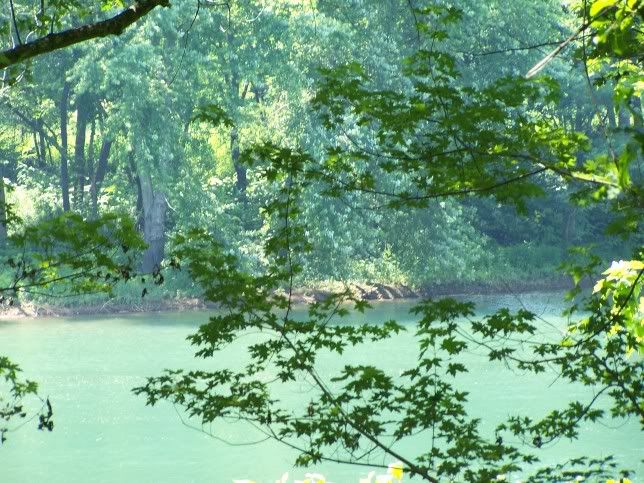
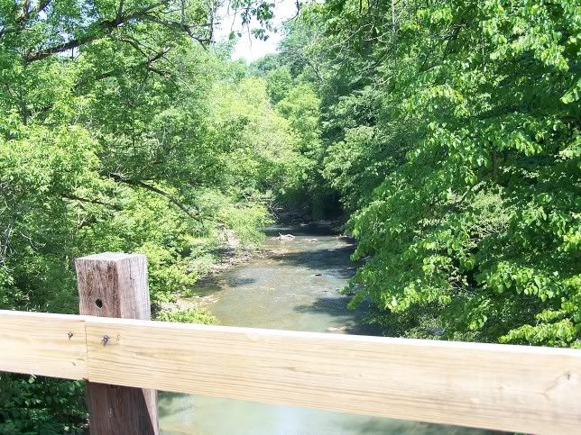
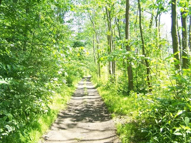
It goes right by the Conemaugh River:


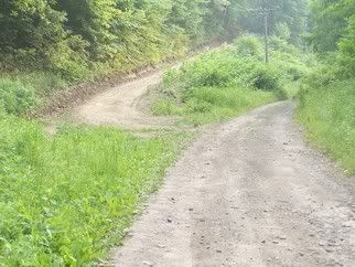
In Saltsburg itself, the trail splits, one follows the Westmoreland heritage trial the other follows the old Pennsylvania Canal. Here is my bike on the old railroad grade which is next to one of the remaining sections of the old Canal (In the 1860s the Canal was filled in during most of its length for an additional Railroad bed):


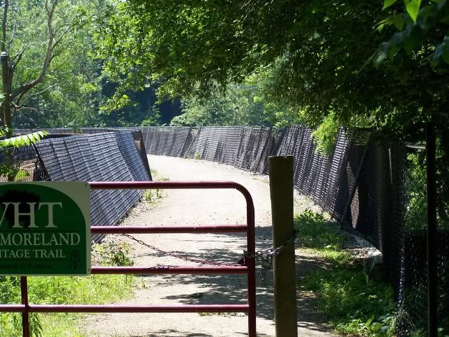
Here is the Westmoreland Heritage Trail (NOT the Canal, the Westmoreland heritage trail):


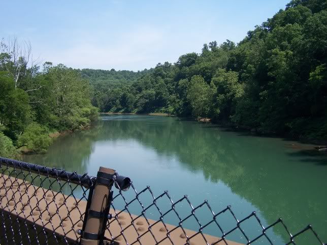
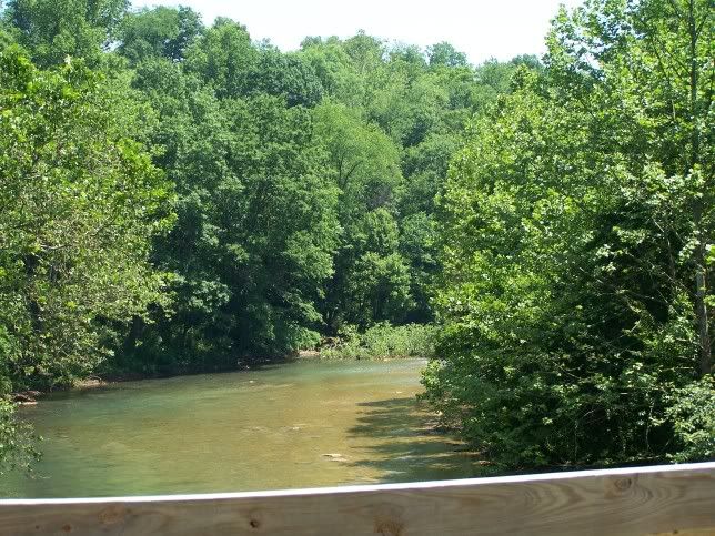
Here is the trail crossing the Conemaugh River:


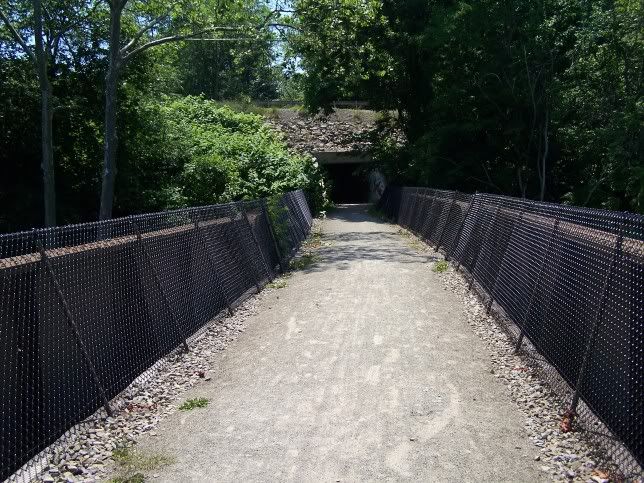
Here is the tunnel under the road that goes to Saltsburg (This is the trail under the Pa road going to Saltsburg):


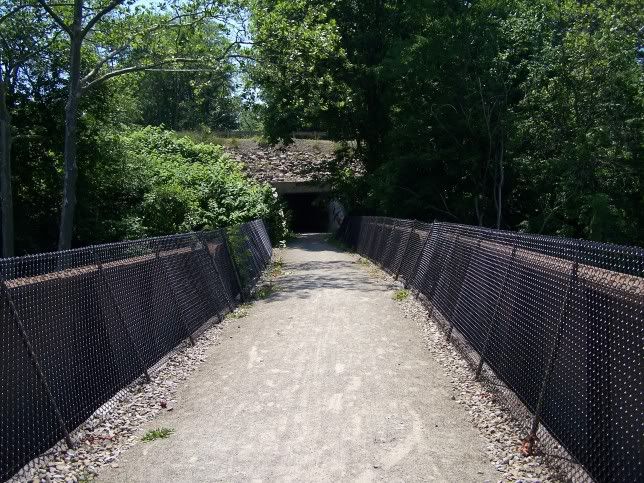
Exiting the short Tunnel:


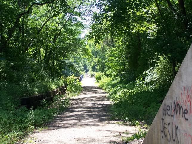
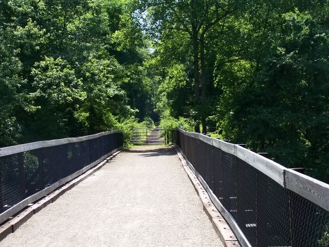
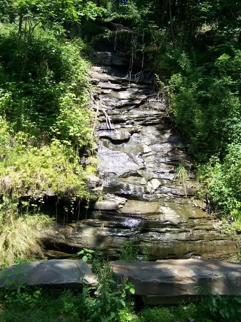
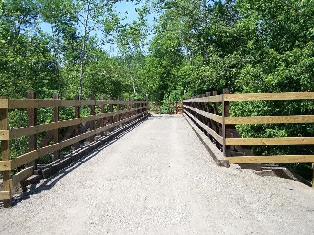
The bridge over the tributary to the Conemaugh that you go over after you exit the Tunnel:


This is the Canal as it was filled in by the railroad and now the Bike path:


The trail over the old Canal:


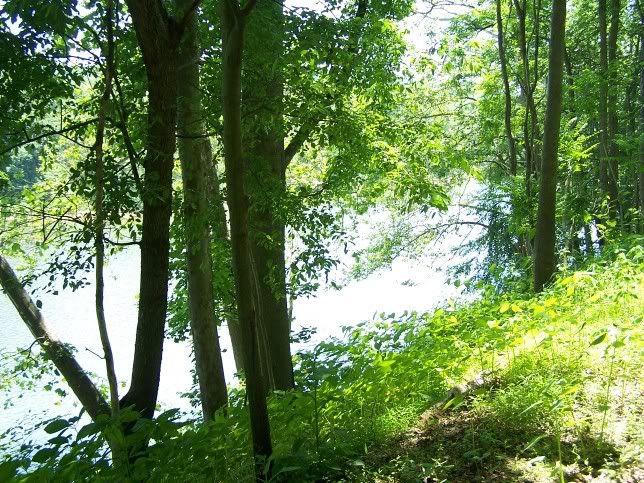
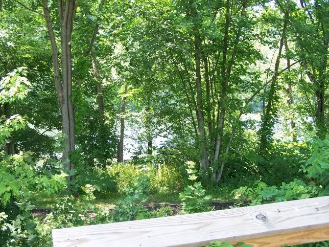
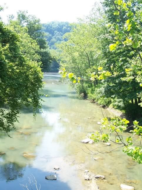
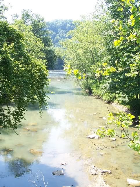
This is the Conemaugh River next to the Trail:


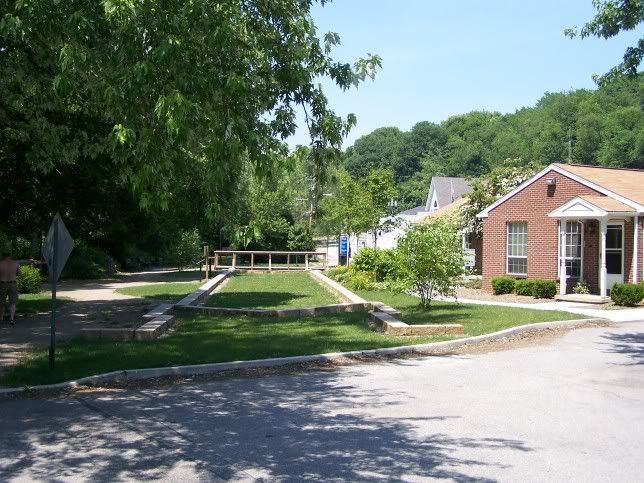
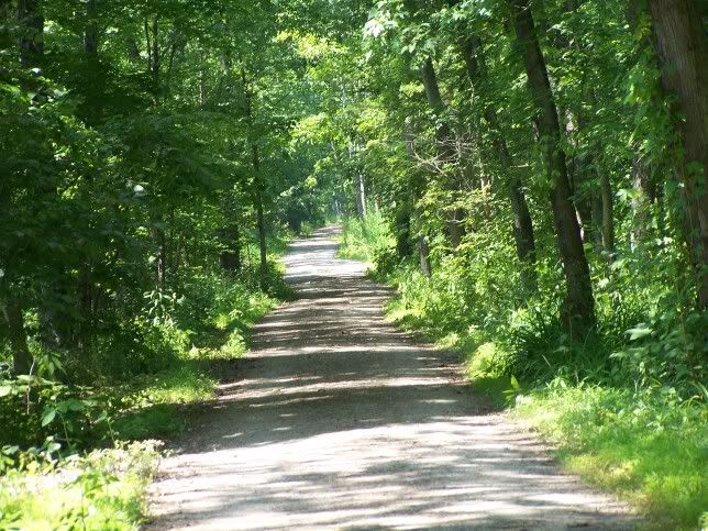
Trail as it heads out of Saltsburg:


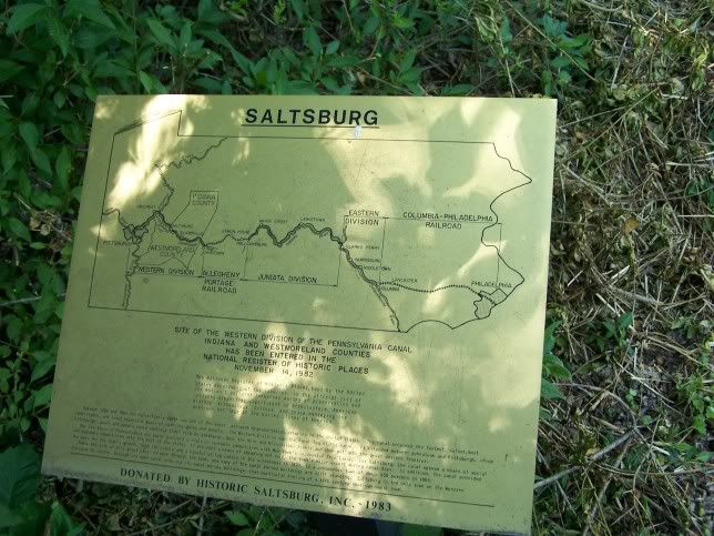
Map of the Old canal:


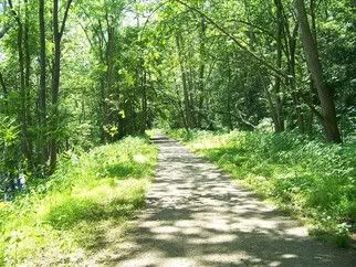
The Trial and River as you head downstream from Saltsburg:


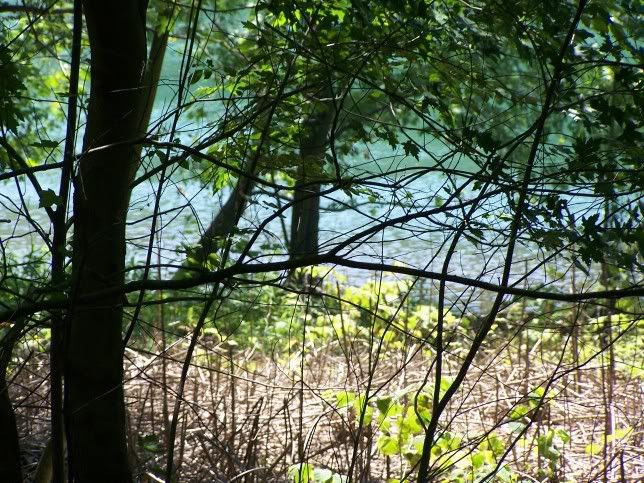
The next Stream into the Conemaugh:


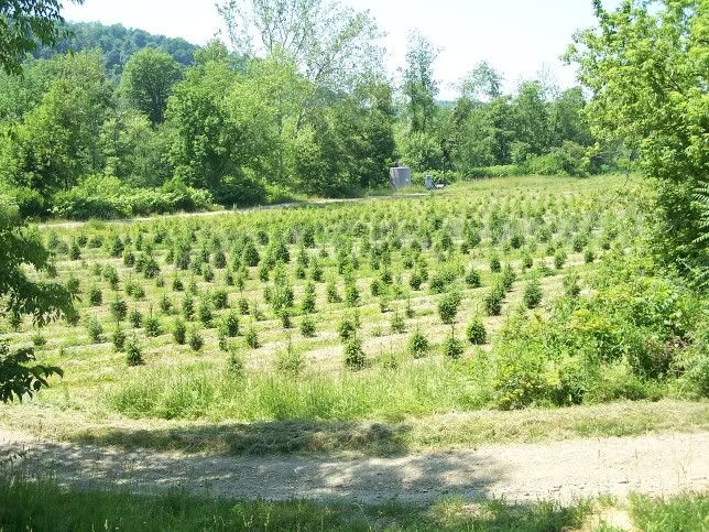
Further on the Trial, Indiana County Pennsylvania Number one Crop, Christmas Trees:


One of the few open spaces on the this part of the Trail:


After the last Bridge the trail is NOT improved, i.e. no surface other than what is left from the railroad:


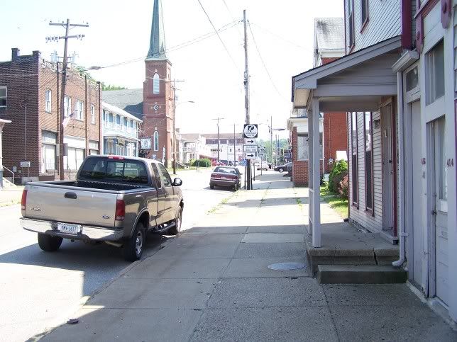
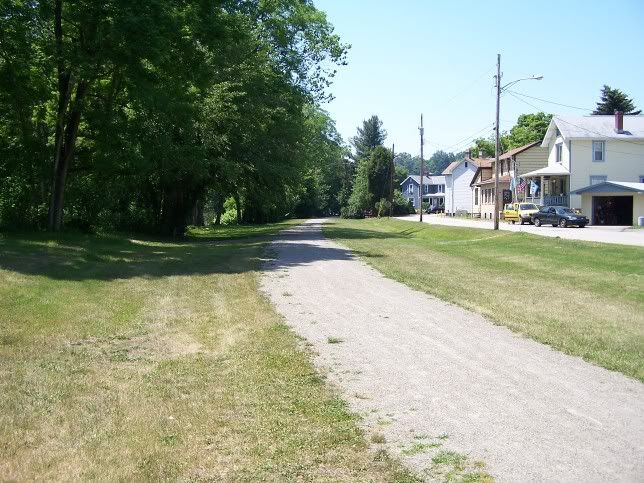
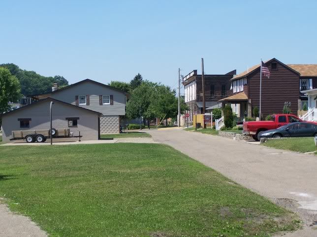
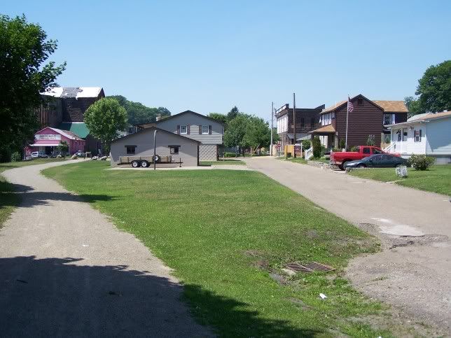
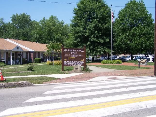
Here is a pictures of Downtown Saltsburg (which is the road parallel to the old Canal):


Refresh | 0 Recommendations Printer Friendly | Permalink | Reply | Top
Kolesar Donating Member (1000+ posts) Send PM | Profile | Ignore Sun Jun-18-06 06:30 AM
Response to Original message
1. Is the river cutting through Chestnut Ridge in that section?
I found the trails website through www.traillink.com http://www.conemaughvalleyconservancy.org/westpenntrail.htm
Printer Friendly | Permalink | Reply | Top
 
happyslug Donating Member (1000+ posts) Send PM | Profile | Ignore Sun Jun-18-06 09:15 AM
Response to Reply #1
2. No, Chestnut ridge is the other side of Blairsville.
Edited on Sun Jun-18-06 09:38 AM by happyslug
Unlike Allegheny Mountain which blocks all east-West Travel (You have to go over it or Tunnel under it) Chestnut Ridge is cut Though by the Conemaugh River (and North of that Gap by Blacklick Creek which the Ghost Town trail follows connecting to the Conemaugh near Blairsville). Now there are Two Gaps the Conemaugh River Goes through, the first is through a wing of Allegheny Mountain, the second goes through Chestnut Ridge. The old Canal and the Present Railroad goes through both. At an earlier posting I showed my "favorite bike Ride". In that Ride I take PA56 through the Allegheny Mountain Gap and then return via Pa 403. PA 56 and PA 403 as while as the old Pennsylvania Main line all goes through that gap. Both roads (and the railroad) are fairly flat and bikable. Once through the Allegheny Mountain Conemaugh River Gap, the Conemaugh River turns west and cuts through another Gap (through Chestnut Ridge). At the same time Pa 56 and 403 climbs Allegheny Mountain to connect to US 22 (Which follows high ridge of Allegheny Mountain after climbing from from Hollidaysburg and stays on that Ride Line till it goes down Chestnut ridge near Blairsville).

Anyway, the present plan is to use 56 and 403 from Johnstown to Seward through the Gap, then take Pa 711 (Which follows the River and the Railroad) to New Florance. Then take 15h street to the old abandoned in the 1950s railroad bed that cuts through the State Game lanes to Lockport. At that point the situation is tight. You still have Railroads on both sides of the River and Steep River hillsides as you go through the Gap. The roads all go up the mountainsides to either 711 or US 22 (This was deliberate by the Pennsylvania Railroad in the late 1800s, they did not want another railroad through the gap nor a flat road to compete with the Railroad). At Lockport the present Railroad goes through the town on a bridge so you have access to the river but no abandoned rail-lines till you get to Boliver (Which is on the Indiana Side of the Conemaugh River). At Boliver you do have some old factory abandoned factory roads, but then nothing till you exit the Chestnut Ridge gap as you approach Blairsville (Where remains of the Old Canal is on the Westmoreland side of the River).

They are working on the trail but it will take some work to get it through Chestnut Ridge.


Topo map on line for Western Pennsylvania:
http://www.rootsweb.com/~usgenweb/maps/pa/county/

Please note these are COUNTY Level Topo maps, which tend to be made out of several old 1/25,000 Maps (i.e NOT the latest maps are used to make these county Maps).

As to the Conemaugh Trail Site, that map was accurate as of two years ago, but since then the Tunnel in Saltsburg has opened up the heavy red dote section on the Western part of the trail (But NOT the light red Doted Section, the heavy dotted section ends in a Steep Cliff overlooking Slickville Road). On the other hand the Corp Of engineers has done is "Switchback" over the Neck around Conemaugh Dam connecting the Dam with the trail to its East.

Here is the start of the "Switchback" (All of these Pictures are from Last year):


This takes you over the Neck and connects you with a Corp of engineers Road around the Conemaugh River Dam. Thus the only uncompleted part is the heavy dotted section in the middle of the map connecting the Dam with Saltsburg.
Printer Friendly | Permalink | Reply | Top
 
happyslug Donating Member (1000+ posts) Send PM | Profile | Ignore Sun Jun-18-06 10:56 PM
Response to Reply #2
3. Here is some pictures of the trail between New Florence and Blairsville.
Edited on Sun Jun-18-06 11:01 PM by happyslug
Which means the trail through the upper portion of the Gap through Chestnut Ridge.

Lockport was a lock on the old Canal, it is just a small town on the River now. Here is the old railroad Grade. The grade goes through Pennsylvania State Game lands so it is open to the Public, through it does end in someone's back yard in Lockport. When a rode my bike down this trail a few years ago it was passable but when I cam to the yard I turned around rather than cut through the yard to the road the leads from Lockport to PA 711. As you approach Lockport the old Grade becomes a swamp, passable but a wetland (The ground is always wet but solid enough to carry of a bike and rider without sinking into the muck, probably do to the old railroad gravel base, the water just oozes around the gravel so it is always wet and mucky, but also solid for wheeled vehicles).

Here is the old grade as you enter the grade from 15th Street in New Florence:


About 1-2 miles on the trail a new road to the left can be seen, this is new it was NOT here when I biked this route a few years ago:


The old grade goes straight while the river backs a big curve, thus soon after starting you have a big field between the old Railroad Grade and the Conemaugh River:


As you go further down the Trail and get closer to the River you run into large stands of Knotwood (Or Japanese Bamboo). This is an import that has slowly taken over large parts of the river Banks.


At the same time the River Gets closer:


The Railroad needs a lot of work, some of the old ties ares till in the ground and you will have to provide drainage for some of the springs and runs that flows water over the trail and into the Conemaugh. For example this spring. seepage made out of old railroad ties when the railroad ran this grade prior to the 1940s:


There are only a few such runs and springs but you have to run a channel under the Trail when it is built so the water does not wash away the trail.

The other problem is how to build over the "wetlands" that is the trail as it approaches Lockport?:


This time I did not travail over the wetlands, but rebuilding it and preserving the wetlands is a problem that has to be address. Now this may NOT be "wetlands" as defined in the law (lack of true wet land plants do to the old gravel base of the old Rail road). If it is NOT drainage and gravel will do the trick (make sure the gravel base is above the water line and the water will seep through the gravel while cyclist travel over the gravel). If gravel is NOT the best solution then maybe a concrete posts rammed into the ground may be the solution (i.e. Concrete posts into the ground connected by Wood connecting the posts on both sides of the trail. Over this frame a wooded base may be build for Bicycles while the water stays below and seeps around the concrete posts). The problem of water is NOT a serious problem, it has to be addressed once the trail is built but ways around the problem are easy.

Printer Friendly | Permalink | Reply | Top
 
happyslug Donating Member (1000+ posts) Send PM | Profile | Ignore Wed Aug-30-06 09:31 AM
Response to Original message
4. Kicking to keep my pictures together
Printer Friendly | Permalink | Reply | Top
 
DU AdBot (1000+ posts) Click to send private message to this author Click to view 
this author's profile Click to add 
this author to your buddy list Click to add 
this author to your Ignore list Mon May 06th 2024, 05:27 AM
Response to Original message
Advertisements [?]
 Top

Home » Discuss » DU Groups » Recreation & Sports » Bicycling Group Donate to DU

Powered by DCForum+ Version 1.1 Copyright 1997-2002 DCScripts.com
Software has been extensively modified by the DU administrators


Important Notices: By participating on this discussion board, visitors agree to abide by the rules outlined on our Rules page. Messages posted on the Democratic Underground Discussion Forums are the opinions of the individuals who post them, and do not necessarily represent the opinions of Democratic Underground, LLC.

Home  |  Discussion Forums  |  Journals |  Store  |  Donate

About DU  |  Contact Us  |  Privacy Policy

Got a message for Democratic Underground? Click here to send us a message.

© 2001 - 2011 Democratic Underground, LLC