Science
Related: About this forumRelease the Kraken!
A mysterious image captured near Antarctica by Google Earth has sparked a frenzy of speculation online with theories about its source ranging from the mythical ‘Kraken’ sea monster to an aquatic UFO.
The image of the elusive being was first spotted off the coast of Deception Island in the South Shetlands on Google Earth on April 9 and shared through a video on YouTube in an effort to solve the oceanic mystery.
https://www.rt.com/viral/347175-kraken-monster-found-antarctic/
 = new reply since forum marked as read
Highlight:
NoneDon't highlight anything
5 newestHighlight 5 most recent replies
= new reply since forum marked as read
Highlight:
NoneDon't highlight anything
5 newestHighlight 5 most recent replies

krispos42
(49,445 posts)I drank far too much in far too little time and passed out on the bed in the kids playroom.
I had chugged a Kraken&Coke, and when I didn't feel anything after a few minutes I had another.
Oops.
The next day I was informed I was "white girl drunk".
No hangover though.
2naSalit
(86,573 posts)Wonder what it is.


denbot
(9,899 posts)Those concentric rings of disturbed water radiating from the right side of the rock are leftover energy from waves breaking over a shallow reef.
muriel_volestrangler
(101,311 posts)Go to the coordinates they give - 63°02'56.7"S+60°57'32.4"W - and you see it's about 15km WSW of Deceptino Island - just over the diameter of Deception.
https://www.google.co.uk/maps/place/63°02'56.7"S+60°57'32.4"W
(you'll need to copy that whole thing, since the " sign throws the DU software off a bit)
And here's a chart:
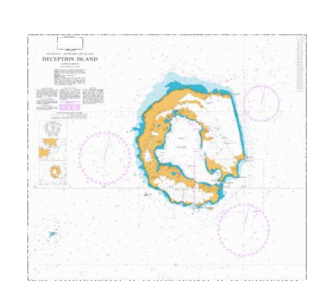
http://www.gpsnauticalcharts.com/main/ar_0226_0-deception-island-nautical-chart.html
You can see the blue, marking the shallow water, at that point, and with the real chart, I expect there is a rock marked in the centre of that.
denbot
(9,899 posts)If it shows up on google earth, facing the roaring 40's, that is a monster surf break.
muriel_volestrangler
(101,311 posts)You'd need to be pretty rich to charter a boat all the way there just for surfing it.